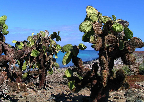
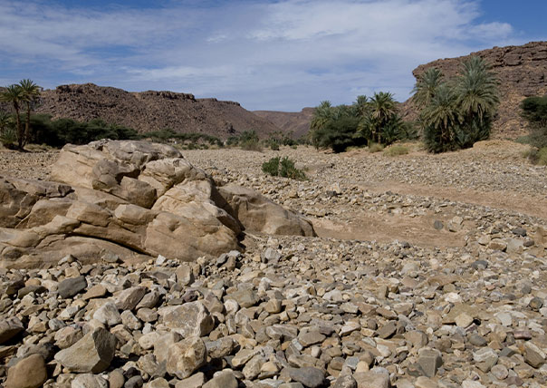
The Arid Zone, a wide area of lava, cinder and ash, exists up to about 200m (656ft).
Bartolomé is an example of an Arid Zone island.
The Highland (humid) Zone is defined by the lush evergreen forest and scalesia trees as tall as 10m (33ft) that thrive in the mist.
Humid areas are much wider on the southern or windward sides, at altitudes of 300-700m (1000-2300ft).
At the highest elevations, the moist, dense forest turns into treeless upland areas covered with ferns and grasses.
The Galápagos Islands are relatively young in the Earth’s overall geological time line, and their formation is an ongoing process.
The region is still volcanically active, with over 50 eruptions recorded since discovery of the islands in 1535.
The most recent eruption of Cerro Azul on Isabela began May 28, 2008, followed by an eruption on the westernmost island, Fernandina, in April 2009.
The volcanic forces that built these islands also drive the currents below — see how seasons affect diving in our guide to the best time to dive the Galapagos.